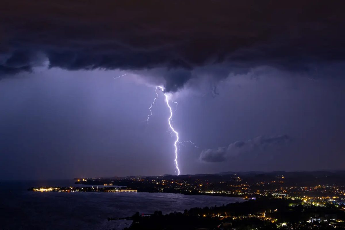
Summer thunderstorms are the meteorologists’ headache. They are local, chaotic, and appear out of nowhere. Unlike big weather fronts that cover entire states, these storms hit small areas. Sometimes just a few square kilometers. They can form in under an hour. The result? Two neighboring towns might have radically different experiences. One gets hammered by hail. The other enjoys blue skies.
This disparity makes predicting summer thunderstorms notoriously difficult. It is not just bad luck. It is a fundamental mismatch between how nature works and how our computers process data.
The Micro-Problem of Scale
Traditional weather models are built for large-scale systems. They handle fronts and low-pressure systems well. Those systems move slowly. They affect millions of people.
Summer storms operate on a different scale. They are micro-events. They rely on accumulated heat and ambient humidity in the lower atmosphere. The trigger can be as simple as a slight breeze or a change in surface temperature.
Because the area so small, standard models struggle. Even high-resolution simulations often miss these micro-climates entirely. They smooth out the details. They see a general risk of rain for a whole county. They do not see the single storm cell building over a specific valley.
This is why you might stand in your backyard watching dark clouds gather while your neighbor three streets away sees nothing. The atmosphere is not uniform. It is a patchwork of tiny conditions.
A Cocktail of Unstable Variables
Creating a cumulonimbus cloud requires a precise mix of ingredients. And the recipe changes every day.
You need temperature. You need humidity. You need wind shear at altitude. You need instability in the air column. These factors interact in real-time. They do not always follow a linear path.
Topography plays a huge role here. Mountains and hills force air upward. This creates updrafts. These updrafts can spark storms. But predicting exactly where those updrafts will form is nearly impossible. A slight change in wind direction can cancel a storm before it starts. Or amplify it into a severe event.
The atmosphere is chaotic. Small changes lead to big outcomes. This is the butterfly effect in action. Meteorologists try to measure it. They rarely catch it in time.
Technology Hits a Wall
We have satellites. We have Doppler radar. We have supercomputers that can simulate the entire planet. And yet, we still get summer storms wrong.
Why? Because the data points are too sparse.
Weather balloons launch twice a day. They provide a snapshot of the atmosphere. But they are launched from fixed locations. They leave huge gaps between them. Ground stations do the same. They are spaced out to cover wide areas. They are not dense enough to capture local dynamics.
The sensors we use are often too far apart to see the micro-conditions that spawn a storm. We are trying to predict a specific event with generalized data. It is like trying to diagnose a patient with a single blood test when you need a full MRI.
The models give probabilities. They say there is a 30% chance of storms in the region. They cannot say which house will get wet. They cannot say when the first drop will fall. The technology simply cannot measure the atmosphere with the required finesse in real-time.
The Future of Forecasting
Is there hope? Yes. But it is not a magic bullet.
Scientists are working on ultra-high-resolution models. These models run on faster hardware and use finer grid sizes. They look at smaller areas with greater detail. This helps. It reduces the error margin.
Artificial intelligence is also entering the chat. AI can analyze vast amounts of historical weather data. It finds patterns humans might miss. It processes information faster than traditional physics-based models. This improves short-term forecasts.
However, a perfectly localized prediction remains out of reach. The atmosphere is too complex. The variables are too numerous. We can improve our odds. We can get better warnings. But we cannot eliminate the uncertainty.
Summer storms will remain unpredictable in their exact location and timing. The best strategy is not to trust the forecast completely. It is to watch the sky. It is to understand that the models have limits. When the air feels heavy and still, that is your cue. The forecast is a guide. Your eyes are the final judge.